This keynote will provide an integrated overview of the current state of poplar cultivation in Spain, highlighting key figures and structural aspects of the sector, while focusing on how digitalization and artificial intelligence are already transforming its practices.
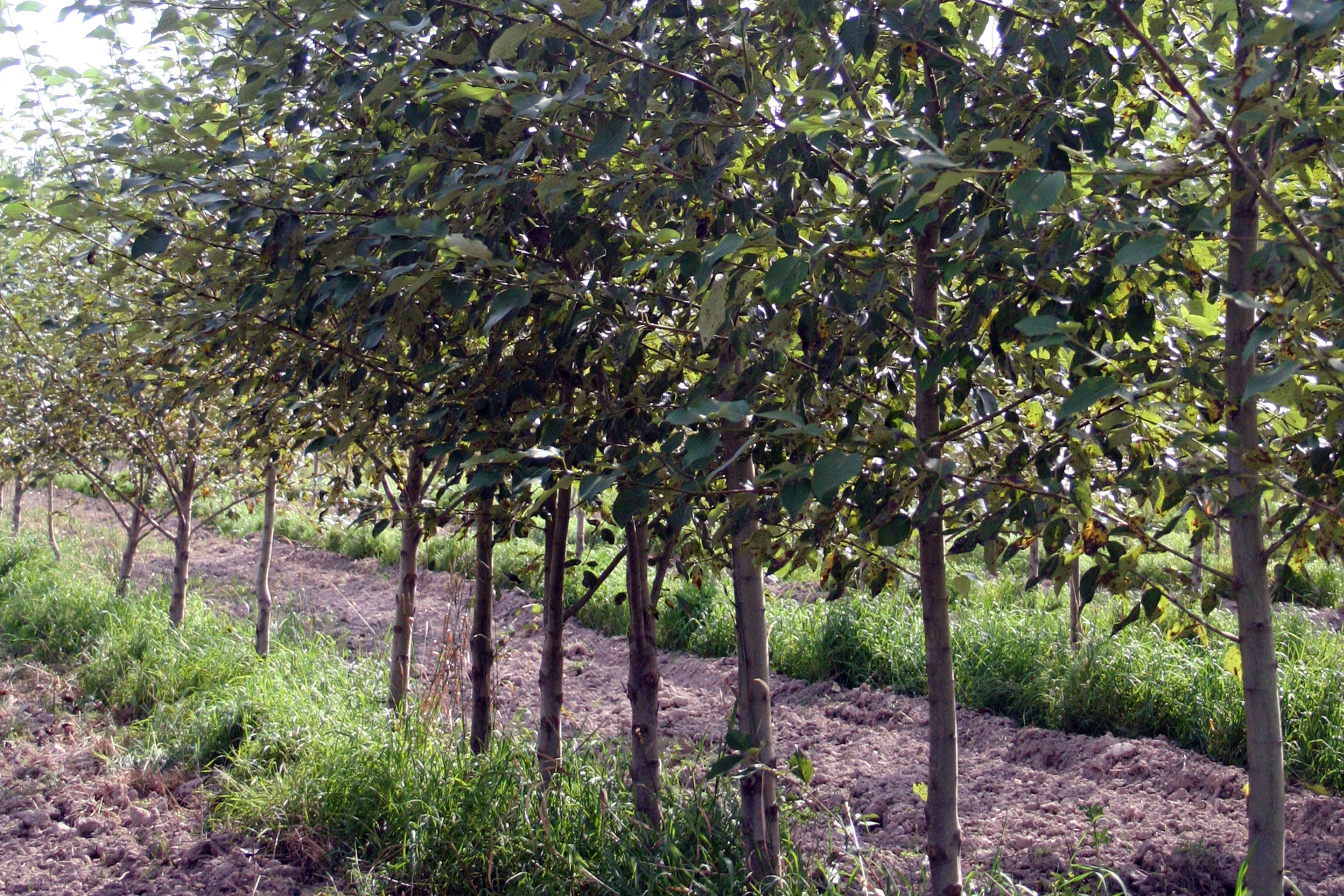
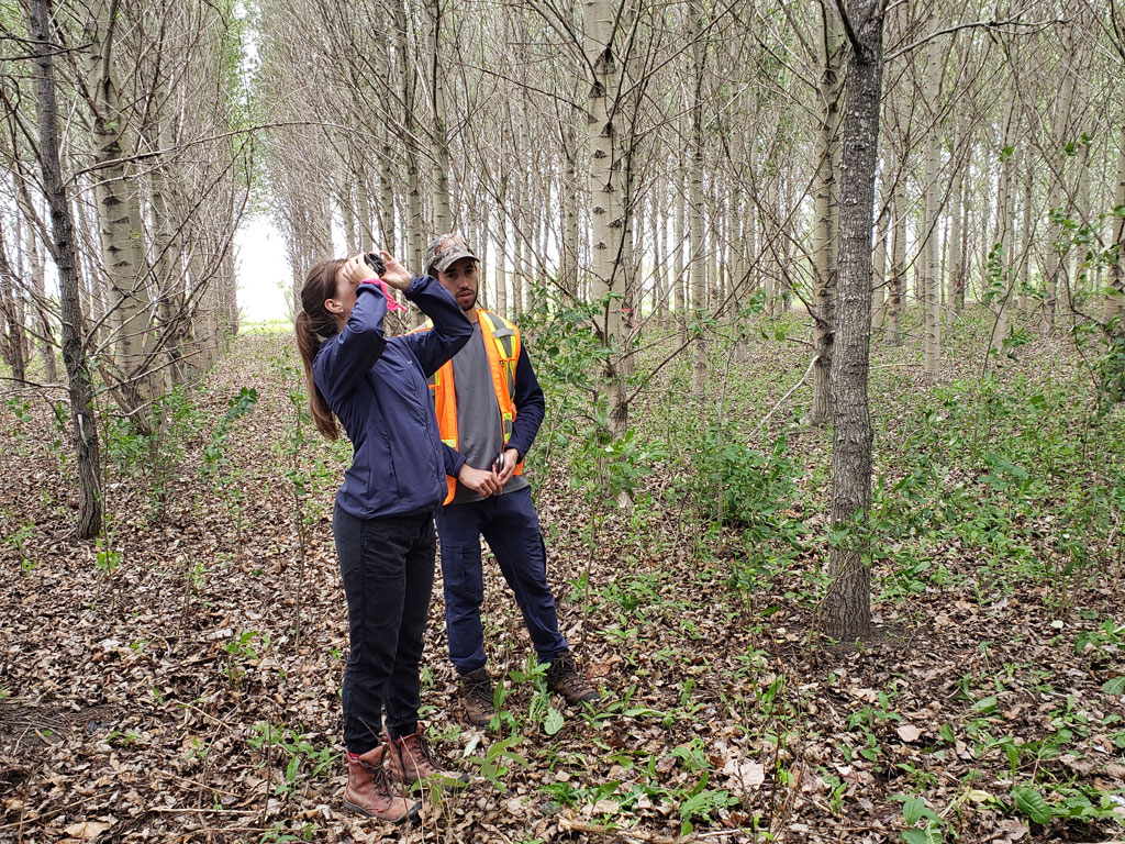
The talk will showcase a range of innovative tools that are advancing digitalization in the poplar sector, including a free online platform for estimating standing timber volume and forecasting growth, laser scanning technologies for efficient poplar inventory and automated volume estimation in timber storage areas, the use of satellite imagery and eco-physiological sensors for early detection and monitoring of biotic damages and water stress, a free mobile app for reporting damage in plantations and accessing likely causes in real time, and the use of radar sensors with non-destructive testing techniques to assess wood quality.
The presentation will also touch on the practical benefits and current limitations of implementing these technologies in the field, and conclude with a forward-looking perspective on how digital tools and AI can support the poplar value chain in Spain.
Biography: In 2000 I received a MSc Degree in Forestry from the Universidad de Santiago de Compostela, and was awarded the Premio Nacional Fin de Carrera (2000) Award (Ministerio de Educación y Ciencia), Premio Fin de Carrera in the Comunidad Autónoma de Galicia, and Premio Extraordinario de Licenciatura 99/00 of the Universidad de Santiago. I obtained my PhD degree at the Universidad de Vigo in 2006, after completing a European Thesis in forest monitoring using remote sensing, a research project funded by the Xunta de Galicia, and cosupervised by researchers of the Pacific Forestry Centre (Victoria, Canada) and the Universidad de Vigo. I started my teaching career in the field of cartographic engineering, geodesy and photogrammetry at the Universidad de Leon in January 2001, as a teaching and research assistant. Since 2001 I have been an assistant professor in remote sensing, and in 2025 I became a full professor.
I have supervised 3 PhDs, one about CO2 storing and sequestration using GIS and geostatistics, another about monitoring invasive species using remote sensing and another one about the estimation of biomass and C sequestration using airborne sensors.
I am the co-author of 40 publications in indexed journals, with 2000 citations. In May 2025 my h-index in the Web of Science is 14, and my h-index in Google Scholar is 22. The results of my research have been presented in more than 60 contributions to conferences (at the national and intenational levels). Moreover, I have given more than 20 lectures/key notes in international meetings.
Some of these publications were written as a result of my 9 long term research stays at prestigious research centers/universities: 2 stays (6 months total) at the Technische Universitat Munchen (Germany), at the GIS chair, which involved my participation in an international research project, with some indexed publications; 6 stays (17 months total) at the Pacific Forestry Centre (Canadian Forest Service, Victoria, Canada) related to forest monitoring using remote sensing, which resulted in 3 indexed publications, contributions to conferences and a book; and a stay at the ITC (University of Twente, The Netherlands) (6 months) which had one indexed paper and a contribution to an international conference as outcomes.
I have participated and am still participating in research projects obtained in international and national open calls, related to monitoring and modelling natural resources, using remote sensing and GIS.
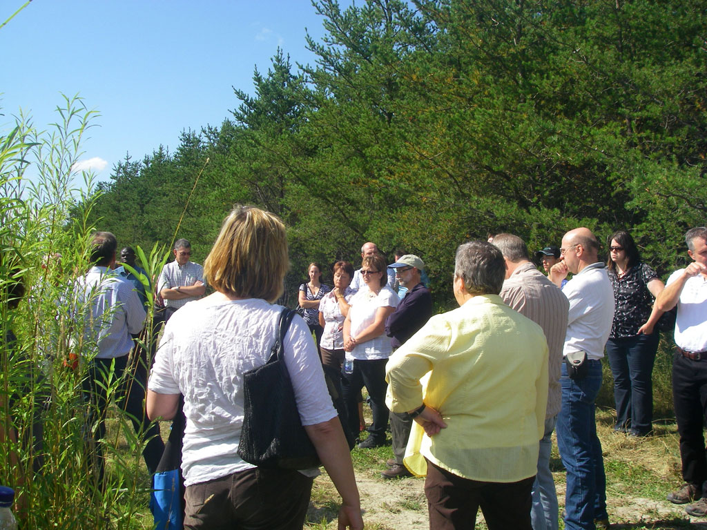
Regarding direct knowledge tranfer to the industry/companies/entities I am the main researcher/collaborator of several research contracts/ technical contracts with companies/public entities (18). I have registered (as a co-author) four software programs to model growth and C estimations in poplar plantations using a terrestrial laser scanner, to segment point clouds, to estimate merchantable volume in poplar plantations using lacer scanner data, and to detect changes in forest health (poplar) using images. I have been awarded with four TCUE proof of concept awards, to monitor weeds using remote sensing, to test a multisensor laser in forest environments, to test growth models in poplar plantations using point clouds and a terrestrial laser, and to test a forest health monitoring system in poplar plantations. I have been awarded with the 2nd award in the “Desafío Universidad-Empresa 2021“, given by the Junta de Castilla y León, for “TreeAlert” a forest health monitoring system for poplar plantations. I have reviewed research papers for several international journals, and I have also been the guest editor of two special issue on multisensor remote sensing for forest monitoring. I have participated as moderator and as part of the scientific committee of several international conferences in remote sensing. I have organized an international conference in poplar research and knowledge transfer to companies and owners.
I have been the coordinator at the Universidad de León for two ERASMUS+ Capacity Building projects, one for the modernization in geodesy education in the Balkans (GEOWEB, 2015-2018), and another one for the use of geoinformatics for sustainable development in Jordan (Geo4D, 2017-2020). I have coordinated the teaching-learning innovation group “Interule”, at the University of León, for internationalization of higher education. At the moment I am the coordinator of the innovation group “BierSoft”, to promote the acquisition of softkills by the students. I am the co-author of publications about using problem based learning and on-line environments (blended learning, mobile learning, augmented reality) in the field of forest engineering and geomatics.
Links to my research:
https://portalcientifico.unileon.es/investigadores/97326/publicaciones
https://scholar.google.es/citations?user=hrJd254AAAAJ&hl=es
https://orcid.org/0000-0002-1530-3309